
Devil’s Creek Track
A demanding climb through alpine terrain rewarded with sensational views of the Wakatipu Basin.
Distance: 12.4 km
Duration: 5-6 hours
Difficulty: Moderate to advanced
Best time of year to go: October till April / May.
Location: Coronet Peak
Start / finish point: Coronet Peak Rd or Skippers Saddle.
Insider’s tip:
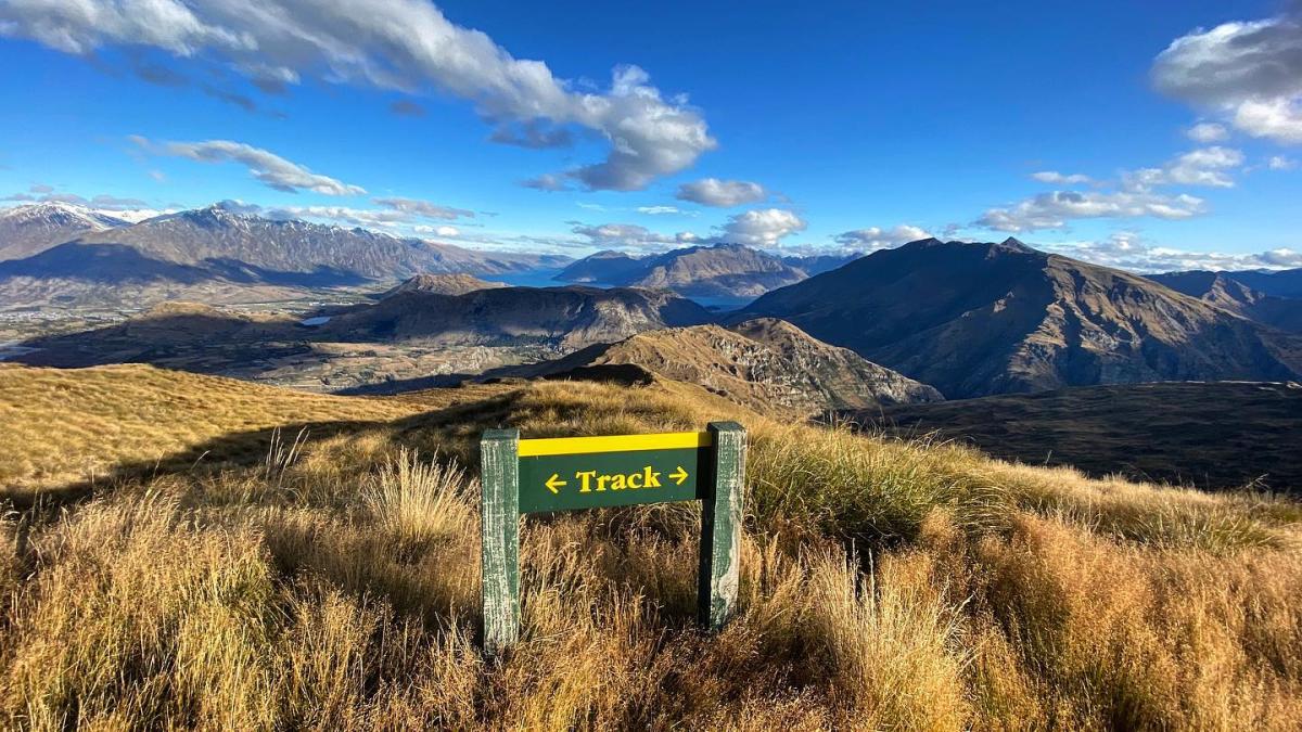
The Devil’s Creek Track experience
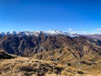
Access the track from Skippers Saddle car park off the Coronet Peak Rd. You start with a gradual climb through tussock grassland becoming steeper as you head up Mount Dewar. It will take you about an hour to reach the saddle, where you’ll have views of the Wakatipu Basin and the Shotover River to the north.
From the saddle of Mount Dewar, you’ll descend through steep tussocky bluffs into scrubby bush around Devils Creek before returning via a rocky saddle to the road. It’s about a four-hour hike from Mount Dewar to the end of the track, where you re-join Coronet Peak Road, 4 km downhill from the Skippers Saddle turn-off.
The trail crosses land managed by DOC and private farmland so stick to the trails, especially in lambing season. You share the trail with mountain bikers and it’s a Black Diamond descent, so watch out for hurtling bodies.
Contact Us
Physical Address
Company: Devil’s Creek Track
Tel: 03-442 7935
Email: queenstownvc@doc.govt.nz
Web: Visit Website
Physical Address
Queenstown
Amenities
- 6.00