
As you head towards Kingston, be sure to pull over at the Devil’s Staircase Lookout Point and soak up the stunning lake and snow-capped mountain peaks stretching into the distance... While this view’s an easy win, it’s just the beginning, because these Kingston walks are (mostly) big on effort, and big on spectacular scenic rewards.
Lower Wye Creek Track
- Distance/duration: 6.66km / 4 hours return
- Difficulty: Advanced. This is a steep track only suitable in summer.
- Getting there: 20-minutes’ drive from Queenstown on State Highway 6. Park at Wye Creek.
On your way to Kingston, stop off on the left-hand side of Drift Bay Road for this challenging short walk. The Lower Wye Creek Track track starts by following the pipeline to a hydro dam, about a 45-minute climb with excellent views back over the lake. You may meet rock climbers heading up to tackle the rocky bluffs around the creek.
Stay on the same side of the creek and climb up through the native beech forest to the bush line and the Lower Wye Creek basin. This is the end of the Lower Wye Creek Track, but experienced trampers can continue 6-8 hours to Lake Alta on an unmarked trail through challenging alpine terrain.
The track takes 4hrs return (on the same route) so bring snacks and water. The higher portion of the track is exposed, so make sure to wear appropriate layers.
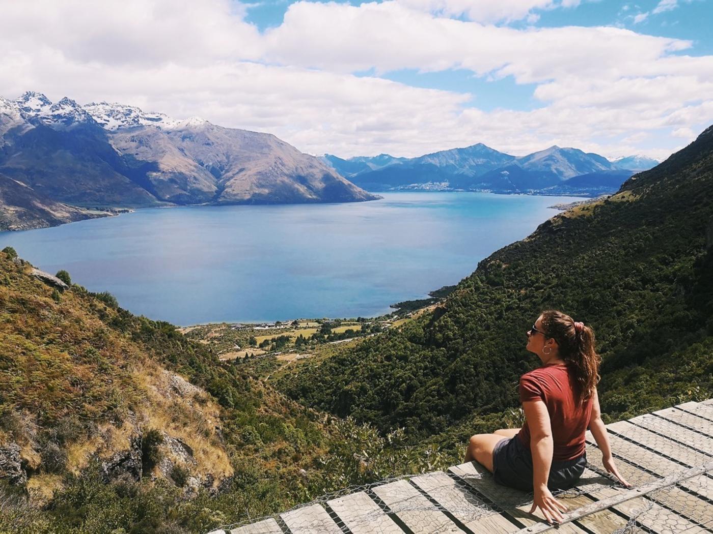 Lower Wye Creek track lookout. Image: @sundaystorms
Shirt Tail Track
- Distance/duration: 1.6km / 1-1.5 hours return
- Difficulty: Advanced. Steep and rough with no marking after the waterfall.
- Getting there: Starts at the Te Kere Haka reserve carpark in Kingston.
The Shirt Tail Track is a short but steep tramp that follows the Shirt Tail Stream. You zigzag up through red beech forest to a waterfall, and then above the bush line for spectacular views over the lake, the old railway line, Kingston, and the surrounding mountains.
Beyond the waterfall, the track is rough and unmarked, more of a scramble than a walk therefore hiking boots and a moderate fitness level are required. In damp weather, this section can be slippery and treacherous. Walking poles are a great idea for the descent as it can be tough on your knees, but the views are well worth the effort. Find out more about the Shirt Tail Track.
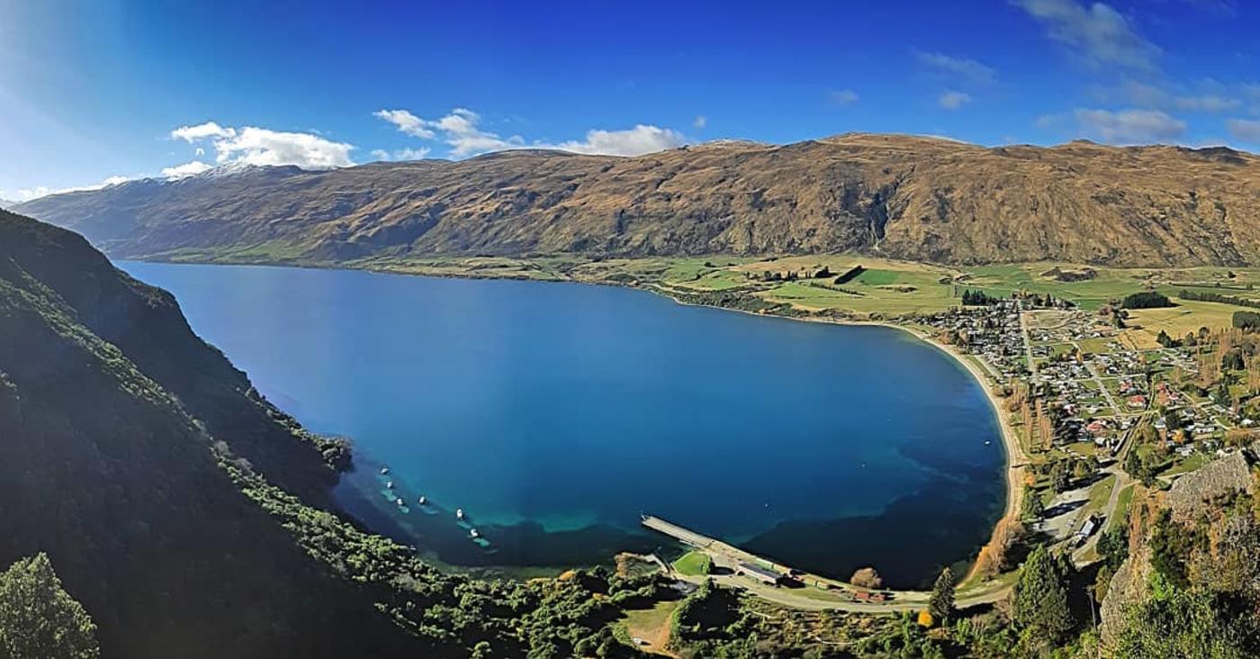 Shirt Tail Track, Kingston. Credit: @lee_johnson1983