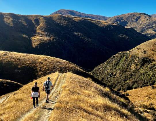
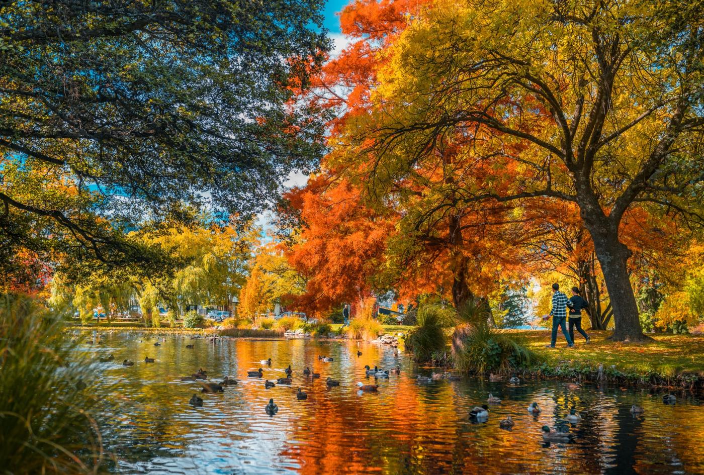
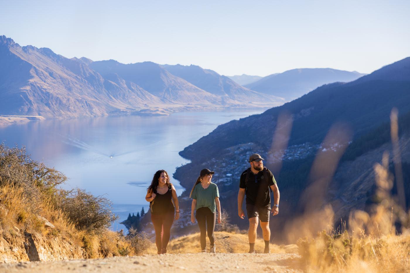
Queenstown Gardens
You’ll forget you are in the town centre when you explore this small peninsula on the shoreline of Lake Whakatipu. Wander through the gorgeous selection of exotic and native plants at the Queenstown Gardens – or explore the gardens while playing a game of frisbee golf. For an extra challenge, try ice skating at the adjacent Queenstown Ice Arena, or continue to explore the town’s waterfront by heading towards Steamer Wharf and St Omer Park. Alternatively, head north at the Queenstown Gardens’ entrance by the Bathhouse and follow the Frankton Track, which in turn links to the Kelvin Peninsula Trail if you have time for a 16.4km one-way hike along Lake Whakatipu.
- Duration: Approx. 25 minutes return on a loop track
- Difficulty: Easy
- Location: Next to Queenstown Bay Beach and off Park St.
 Queenstown Gardens
Arrow River Trail
This predominantly flat track follows the Arrow Irrigation Pipeline for much of the way and provides lofty views over the Arrow River. About a quarter of the way along you’ll pass a waterfall where the Sawpit Gully flows into the Arrow River. For an extra challenge, take the turn off to the Sawpit Gully Trail, or simply retrace your steps back to Arrowtown to explore the shops and eateries. You can also start the trail at Bush Creek Recreation Reserve after wandering through the adjacent historic Chinese settlement.
- Duration: Approx. 50 minutes return
- Difficulty: Easy
- Location: Start at the bridge from Butlers Green in Arrowtown.
![]() Arrow River, Arrowtown
Arrow River, Arrowtown
Glenorchy Lagoon Walkway
Explore the ‘head’ of Lake Whakatipu on this boardwalk track that crosses wetlands filled with bird life and offers spectacular views of Mt Earnslaw/Pikirakatahi and the surrounding ranges. Follow the signs to the northern end of Glenorchy, near Lake Whakatipu on Mull St, where the track begins.
- Duration: Approx. 1-2 hours return
- Difficulty: Easy
- Location: Glenorchy, 45-minute drive from Queenstown on the Glenorchy-Queenstown Road.
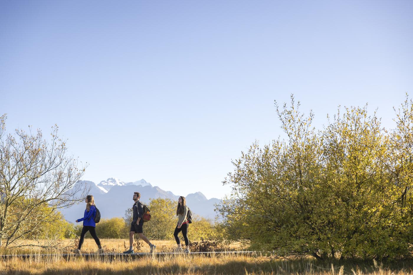 Glenorchy Lagoon Walkway
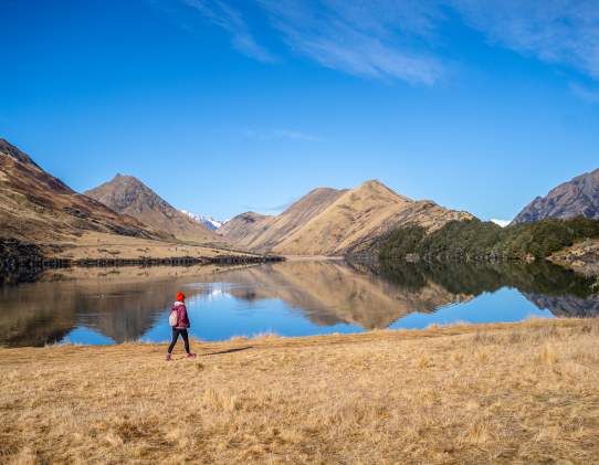
Moke Lake Loop Track
Surrounded by towering mountains, this track takes you right around the picturesque Moke Lake and through gently rolling grasslands. A short boardwalk at the southern end takes you over a small wetland. The turnoff to Moke Lake takes you up a steep and windy road, past the smaller Lake Kirkpatrick, and onto the Moke Lake Reserve, where you can start the track.
- Duration: Approx. 2-3 hours return
- Difficulty: Easy
- Location: 15-minute drive from Queenstown along Glenorchy-Queenstown Rd.
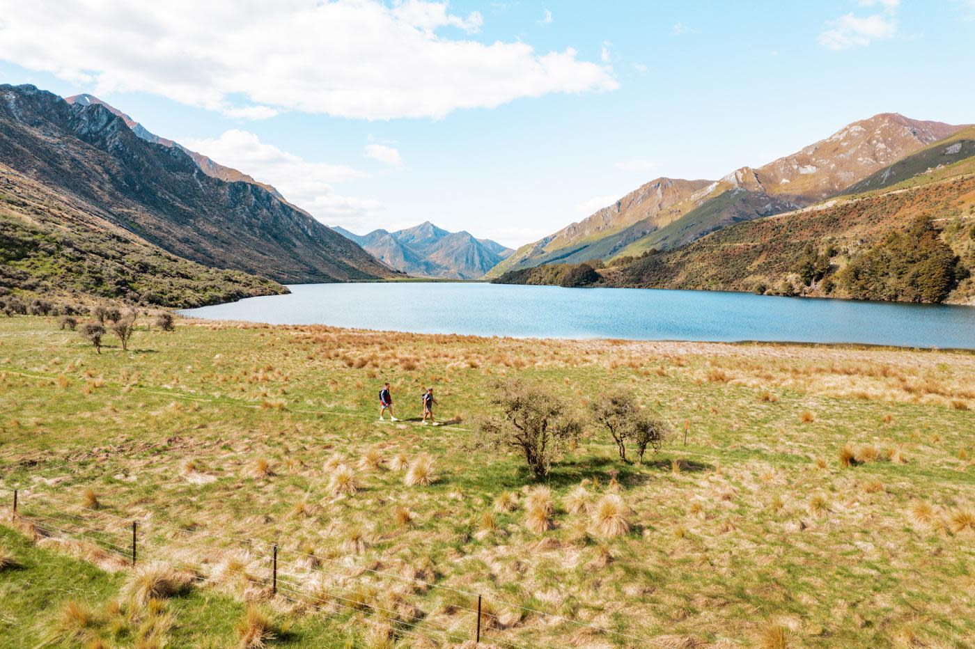 Moke Lake Loop Track
Intermediate Short Walks
Tobin’s Track
This uphill track is sure to get your lungs pumping, but the views along the way are worth every breath. Built by Thomas Tobin in the 1870s to create a faster route to the Crown Terrace and Wanaka, this track presents incredible views of Arrowtown and its surroundings. On the way up, keep an eye out on your left for the remains of the Tobin family’s cottage, now surrounded by vegetation. About halfway up you’ll also spot the entrance to the New Chum Track. At the top of Tobin’s Track there’s a trig station plus seating to help you catch your breath as you enjoy the views.
- Duration: Approx. 1 hour return
- Difficulty: Intermediate
- Location: Arrowtown, at the end of Ford Street (off Centennial Avenue and Bedford Street corner). Once there, cross a bridge over the Arrow River and follow the track up the hill.
 Tobin's Track Summit
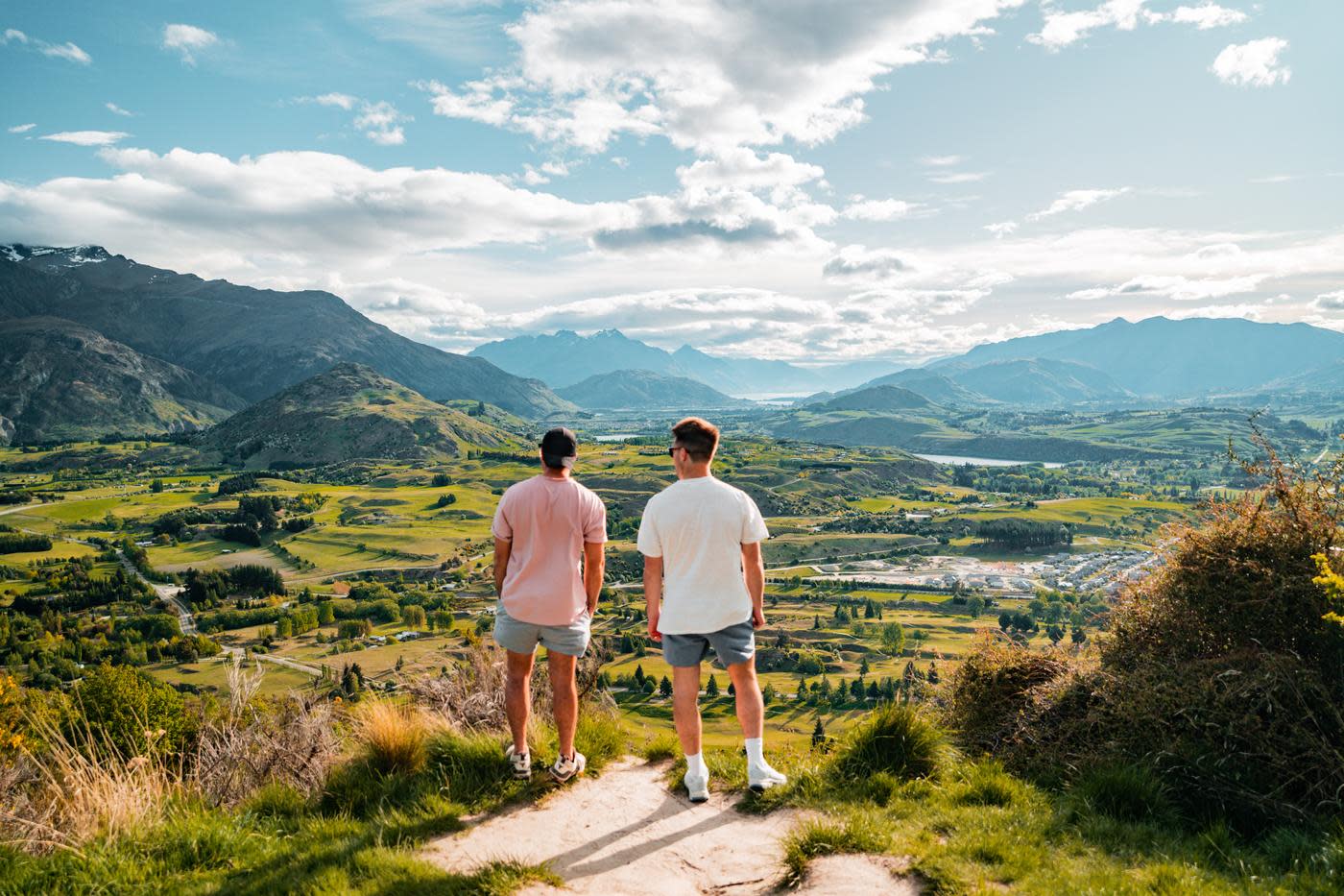
Queenstown Hill Walking Track
This track is one of the most accessible and popular walks in Queenstown. Get those legs working while enjoying amazing views over the Whakatipu basin. Another drawcard is the beautiful sculpture Basket of Dreams by Caroline Robinson. Push yourself a little further to appreciate an even better view just 0.5km further up the Queenstown Hill walkway.
- Duration: Approx. 2-3 hours return
- Difficulty: Intermediate
- Location: The track starts and finishes on Belfast Street.
 Queenstown Hill Summit
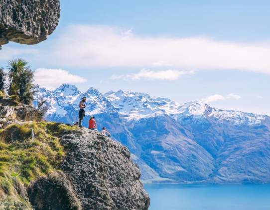
Shirt Tail Track, Kingston
This challenging uphill track follows the well-marked trail alongside Shirt Tail Stream through red beech forest and subalpine shrublands and past a waterfall to the bushline for a panoramic view of Lake Whakatipu and the Kingston township. The Te Kere Haka Reserve is at the far end of the township past the railway station.
- Duration: Approx. 2 hours return
- Difficulty: Advanced
- Location: Kingston, at the Te Kere Haka reserve carpark, a 45-minute drive from Queenstown.
 View from Shirt Tail Track, Kingston. Credit @freedom72life
Lower Wye Creek Track
Located on the west face of The Remarkables mountain range, the Lower Wye Creek track is a rewarding hike just 20 minutes' drive from downtown Queenstown. This steep and challenging track follows the pipeline from the dam and leads you to the foot of a rock bluff. Keep walking up through the beautiful beech forest and take a right to head over the bridge. From here you'll be on the pipeline walkway until you get close to the waterfall. Look to your left and you will be able to see the helipad platform. Stroll through the gap in the bushes and climb up onto the platform and you'll be greeted by some jaw-dropping views of lake Whakatipu and Cecil Peak.
- Duration: Approx 2 Hours return
- Difficulty: Advanced
- Location: Wye Creek
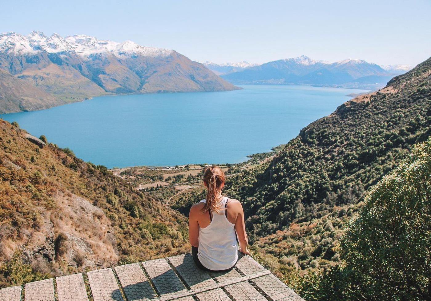 Lookout from Wye Creek