Short Walks
Glenorchy Lagoon Walkway
From the Glenorchy waterfront this gentle, well-formed track follows the flood bank around the Rees River and Lagoon Creek. The boardwalk offers various strategically located benches and picnic tables overlooking Mt Earnslaw and the Humboldt Mountain Range. You will also encounter plenty of bird life, including black swans, paradise ducks and Canada Geese as the boardwalk traverses wetlands near Glenorchy.
This is a great walk with kids and a great way to soak up the magic of Glenorchy without working up too much of a sweat.
- How to access: Park at the waterfront car park, at the northern end of Glenorchy and follow the DOC signs
- Duration: 30 minutes – 2 hours
- Difficulty: Very easy, flat terrain
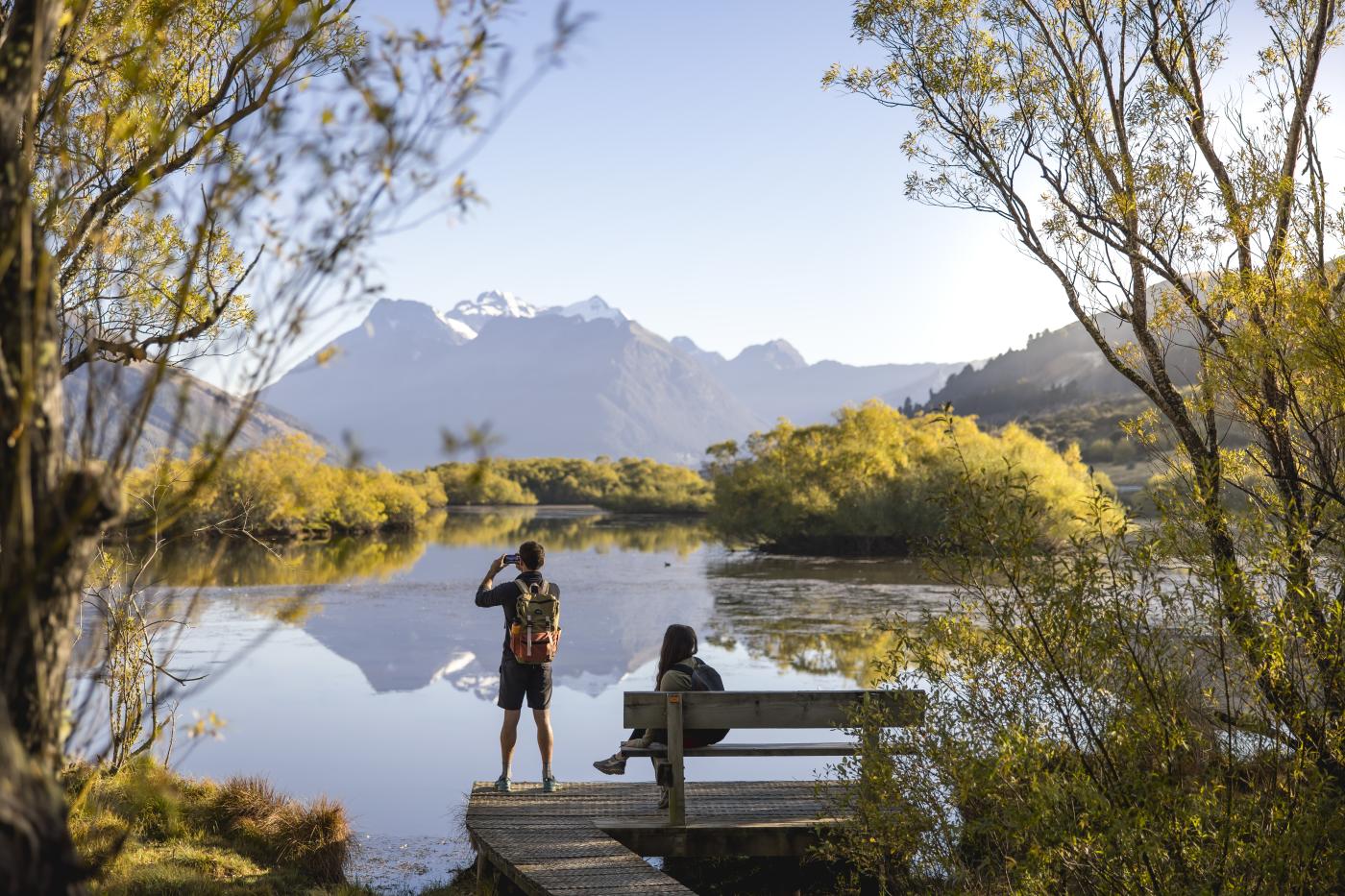
Glenorchy Lagoon Walkway.
Routeburn Nature Walk
This loop track is ideal for families. Start the track by crossing the swing bridge over the turquoise waters of the Route Burn, then enter the beech forest and enjoy this beautiful nature walk with plenty of opportunities to see native birds.
This is a short and easy track that is perfect for the little ones.
- How to access: From the Routeburn shelter carpark. Follow the DOC signs
- Duration: 40 minutes to 1 hour
- Difficulty: Very easy, flat terrain
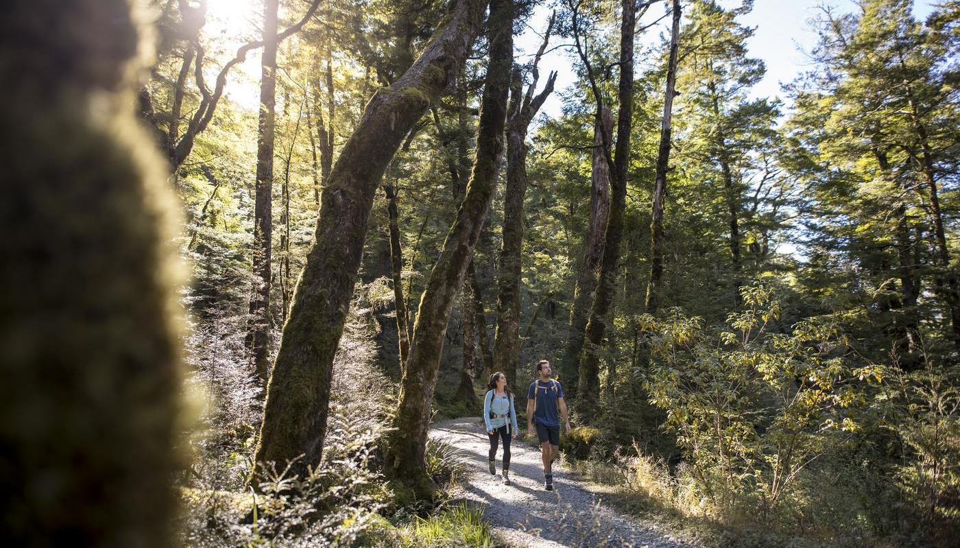 Routeburn Track
Lake Sylvan Track
Take the scenic 25-minute drive from Glenorchy towards the Routeburn and explore the pristine nature for a few hours. Lake Sylvan track is well-defined and can be done as a loop. The walk through old moraine river terraces and tall red beech takes you to the viewing platform of beautiful Lake Sylvan. Enjoy the views of surrounding mountains including Mt Earnslaw. Make sure you pack a picnic lunch and sit down by the lake to have a snack.
You will have the opportunity to view many native birds such as robins, fantail, and riflemen.
- How to access: From Lake Sylvan carpark. Via Routeburn road, turn right for Lake Sylvan – follow the DOC signs.
- Duration: 40 minutes one way to viewing platform, or 1 hour 40 minutes for the loop track.
- Difficulty: Easy, flat terrain
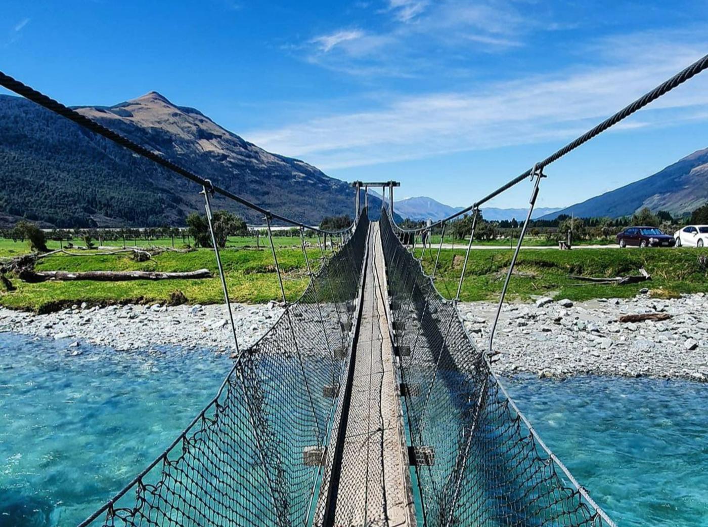 Lake Sylvan, credit @solar787.nz on Instagram
Day Walks
Invincible Gold Mine Track
This 3-hour return walk introduces you to the rich mining heritage of the area. Part of the Otago Goldfields Park, the walk gradually works its way up above the snow line so you get some great uninterrupted views of the Rees Valley and Mt Earnslaw.
From Rees Road, this well-formed historic walking track is for people with moderate fitness and abilities. You can see remains of the water wheel and a unique set of seven berdans (large, revolving cast iron bowls in which the ore was ground) are also visible. Miners built the track in the early 1880s, but you can now enjoy it without the sweat and tears they invested.
- How to access: Via Rees Valley Road. Be aware that you will need to cross a couple of fords to get to this track. You can park your car just before the second ford (the largest) and cross it on foot, or cross the ford by card and park on the other side. The track starts right after the ford, to the right.
- Duration: 3 hours return
- Difficulty: Moderate, with a steady climb.
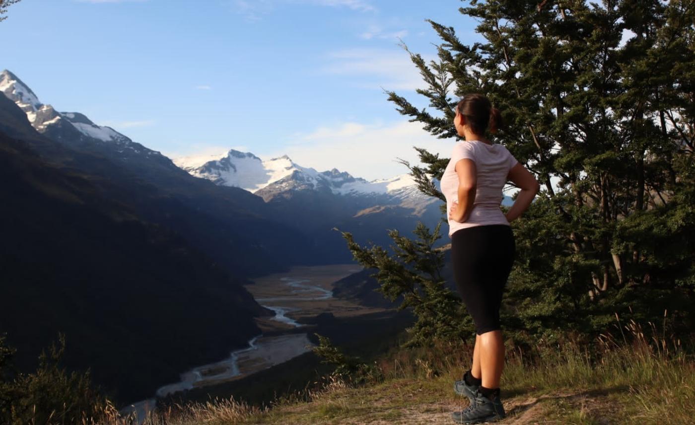 Invincible Gold Mine track
Lake Rere Track
If you’re looking for a full-day out exploring nature, this is the perfect option for you. This loop track takes you through various landscapes. It starts through native beech forest and a bridge crossing over the stunning turquoise waters of the Greenstone River. You will walk beside the river for quite some time and go through forest and tussock before reaching Lake Rere.
There are some amazing spots along the track to stop and admire the beautiful colour of the Greenstone River and the rock formations underneath. You may even attempt to jump in the water if you’re brave – it is very cold. Part of the track also goes through open paddocks with some amazing views of Lake Wakatipu and the surrounding mountains.
Don’t forget to pack a sandwich for lunch, and your insect repellent as there are sandflies in the area.
- How to access: Park at the Greenstone carpark, about 1 hour drive from Glenorchy
- Duration: 4 – 6 hours
- Difficulty: Easy. Terrain is flat but it is a long walk.
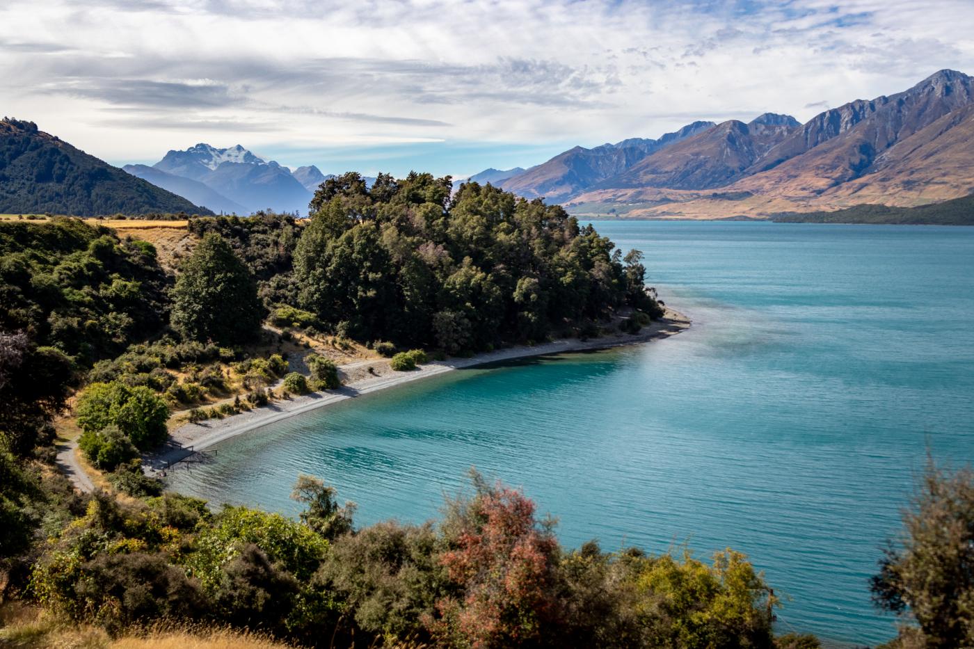 Lake Rere track @_bernadobarbosa
Routeburn Flats
If you have ever wondered what the Routeburn Track is all about, and you don’t think a multi-day walk is right for you, then walk part of the Routeburn up until the Flats Hut. The track begins at Routeburn Shelter, along the crystal-clear Route Burn. You will pass the stunning Bridal Veil Waterfall and continue above the gorge. A swing bridge leads to open grassed flats, and the Routeburn Flats Hut. This is a perfect spot to spot for a picnic and take in the stunning views in the valley. Simply come back from the same way at the end of the day.
- How to access: From the Routeburn Shelter carpark.
- Duration: 1.5 – 2.5 hours one way
- Difficulty: Easy, well-maintained track with little elevation.
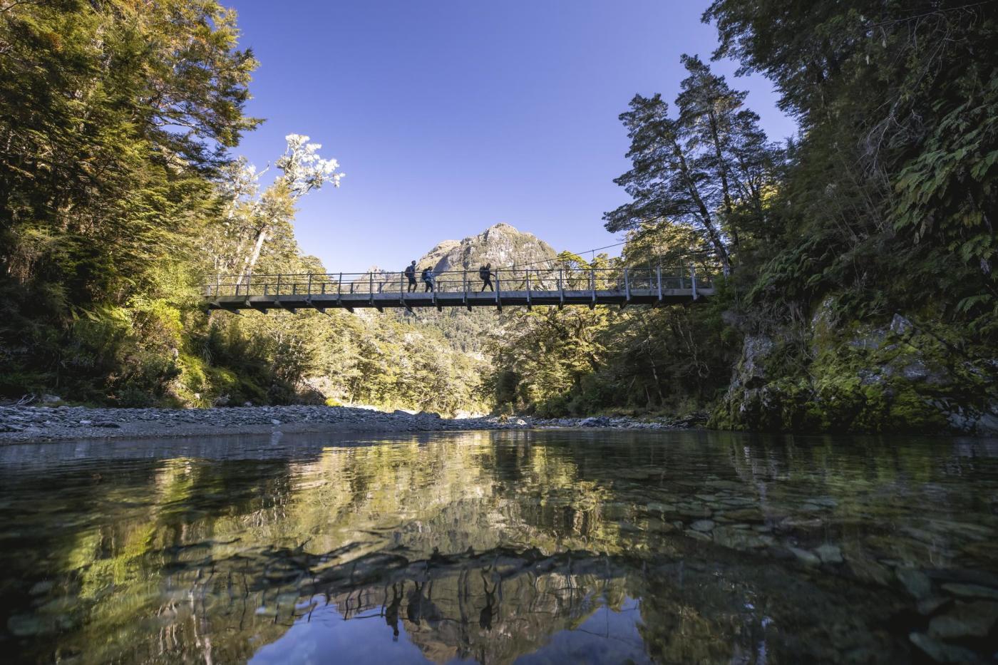 Start of the Routeburn Track
Multi-Day Walks
Greenstone-Caples
This four to five day track is a stunning and easy loop track, and it also connects to the Routeburn Track, so you could either do the whole loop and finish it at the Greenstone Shelter, or just do half of the track and finish it at The Divide.
The track follows the Greenstone and Caples rivers and takes you through beautiful grassy flats, a spectacular gorge, beech forest, and some private farmland. With mountain and river views everywhere, this is a truly special track.
The Greenstone Valley was one of the easiest access routes between the West Coast and Central Otago, and widely used by Maori from Otago and Southland, this route was also used to reach the Dart Valley to collect the highly valued pounamu (greenstone).
The starting point is at the Greenstone Shelter, and you can choose to start from the Greenstone or Caples side. There are three first-in-first-served huts throughout the track. Bookings are not required, but you need to purchase tickets in advance from the Queenstown Department of Conservation Visitor Centre.
Camping is allowed with some stipulations, check with the Department of Conservation before you go.
- How to access: From the Greenstone Shelter carpark, 1 hour from Glenorchy. Be aware that you will need to cross two fords to get to this track.
- Duration: 4-5 days
- Difficulty: Moderate – walking and tramping
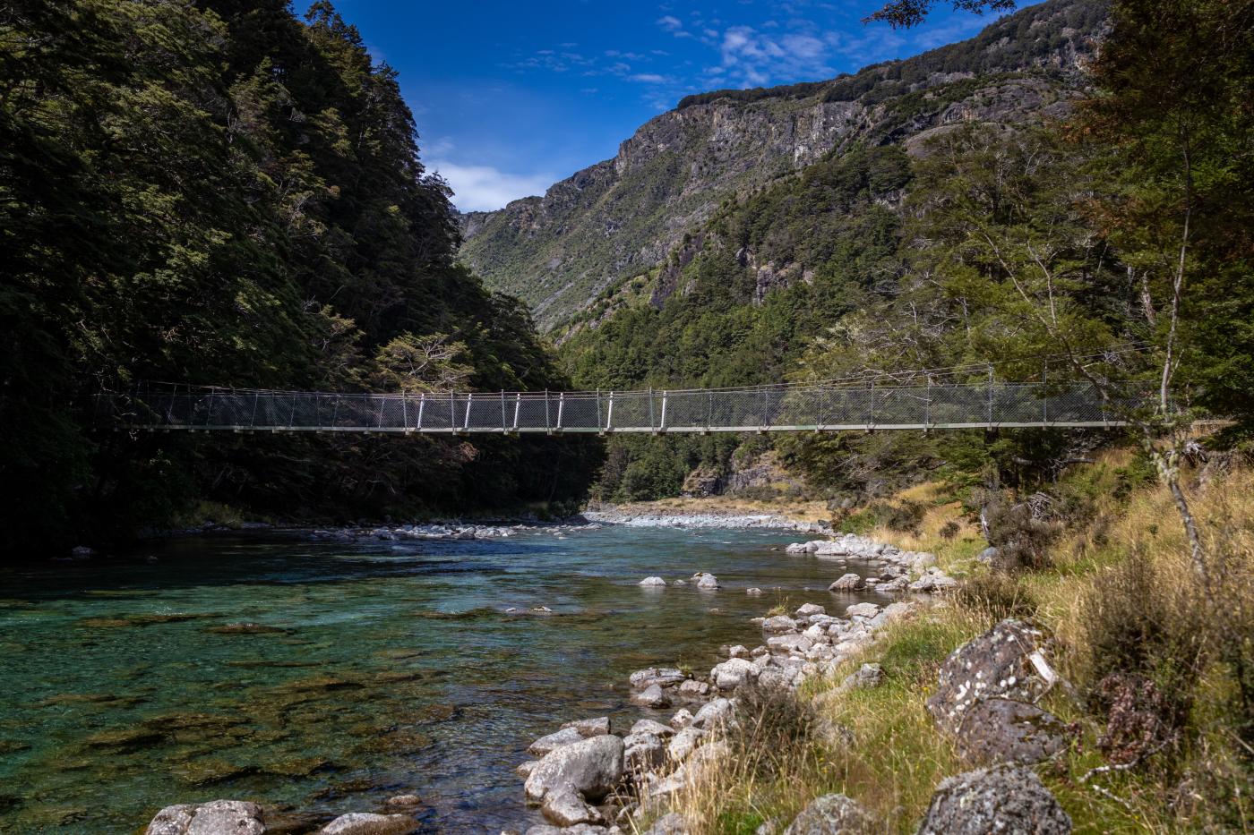 Greenstone Caples track
Rees-Dart Track
Located at the Mount Aspiring National Park, a World Heritage Area, the Rees-Dart track is a moderately demanding four to five day tramp of 6 to 8 hours walking per day. It follows the Rees and Dart rivers and goes around Mount Earnslaw, giving you stunning alpine views all along. If you’re looking for a little more challenge, then this track is perfect for you.
The Dart Valley is known for its populations of endangered native birds. You may find the cheeky alpine keas at the Rees Saddle and in the upper Dart, the mohua/yellowhead, kākā, and long-tailed bats. Other forest birds such as robin, fantail and brown creeper are also seen in both valleys.
The track starting point is at the Muddy Creek carpark. It is not a loop, so you will need to arrange transportation from the end of the track. Please note the access roads to this track is gravel and there are a couple of fords to cross. There are three first-in-first-served huts throughout the track and bookings are not required, but you need to purchase tickets in advance from the Queenstown Department of Conservation Visitor Centre.
Camping is allowed with some stipulations, check with the Department of Conservation before you go.
- How to access: From the Muddy Creek carpark, 50 minutes from Glenorchy. Be aware that you will need to cross a couple of fords to get to this track.
- Duration: 4-5 days
- Difficulty: Advanced – tramping track
Routeburn Track
The Routeburn Track is one of New Zealand’s Great Walks and the ultimate alpine adventure, taking you through ice-carved valleys and below the majestic peaks of the Southern Alps/ Kā Tiritiri o te Moana. This bucket list hike can be hiked as part of a guided hiking trip, leaving from Queenstown, or self-guided.
This track links Mount Aspiring and Fiordland National Parks, both located in the World Heritage Area. You’ll be rewarded with spectacular vistas over vast mountain ranges and valleys.
The Routeburn Track can be hiked in either direction. You’ll start from the Routeburn Shelter carpark and end at The Divide (or vice-versa). If you're not embarking on a guided hike, make sure you arrange transport from the end of the track as it is not a loop. Shuttle operators can offer round trips and vehicle relocation options offer a flexible option for making the most of your travel itinerary.
There are three huts and two campsites throughout the track and they all must be booked in advance via the Department of Conservation.
- How to access: From Routeburn Shelter carpark, 30 minutes-drive from Glenorchy.
- Duration: 2-4 days
- Difficulty: Intermediate walking and tramping.
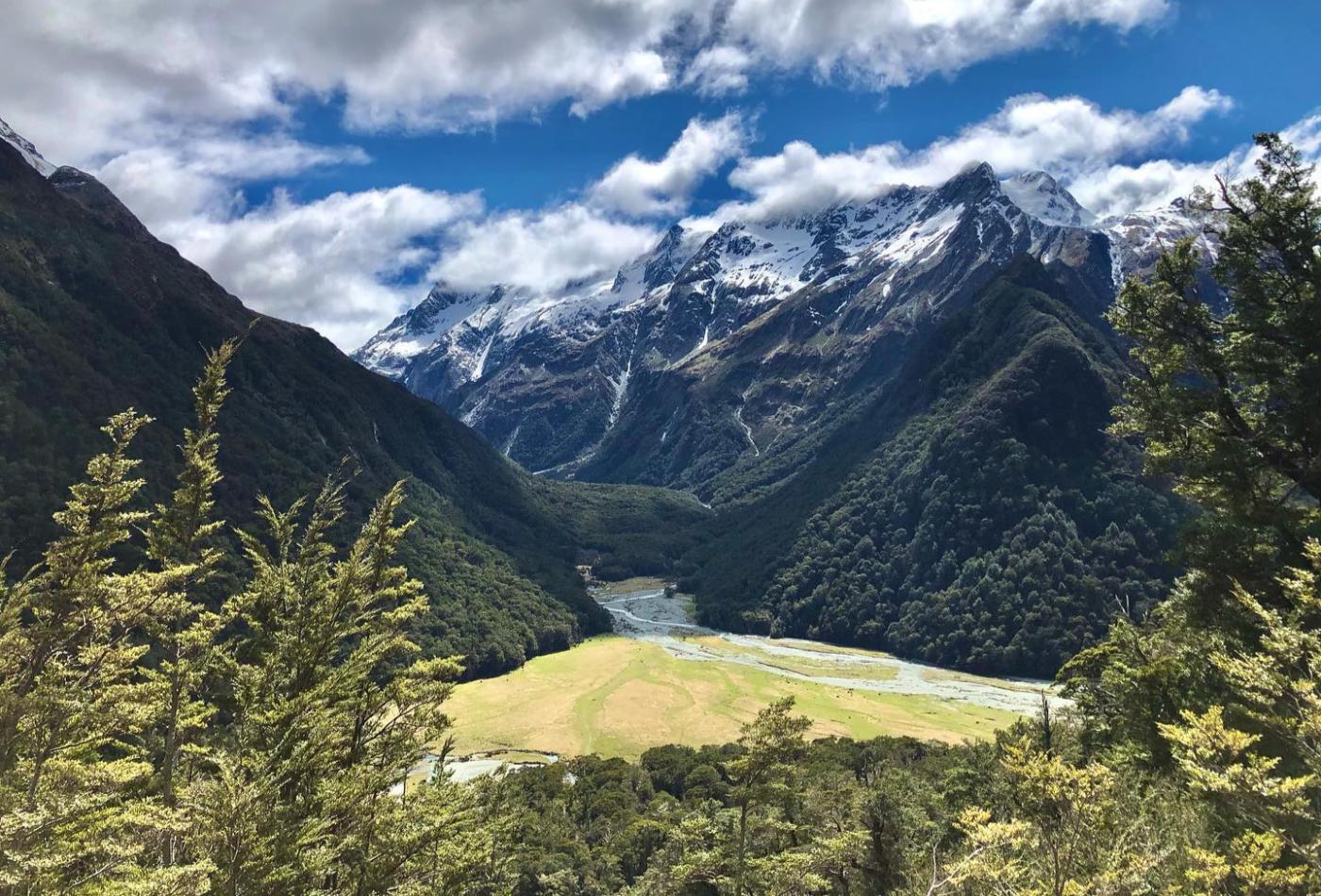 Routeburn Track. Credit @connormichie on Instagram
Preparing for your hike
We’ve put together a handy guide to training, planning and packing for your Glenorchy hiking adventure. Check out the five rules of the outdoor safety code before you leave, to enjoy a safe and unforgettable walk.
